Collection of town maps. The town’s official maps can be found on their website. Maps made before the railway, highway, and town development are interesting to understand the natural ecological/geological state of Longmeadow. Some of these maps can be found in the Massachusetts archives. Source links for the original full resolution maps are provided when possible.
Nature:
- Longmeadow Floodplain
- Bliss Park
- Laurel Park
- Laurel/Bliss Park Combined
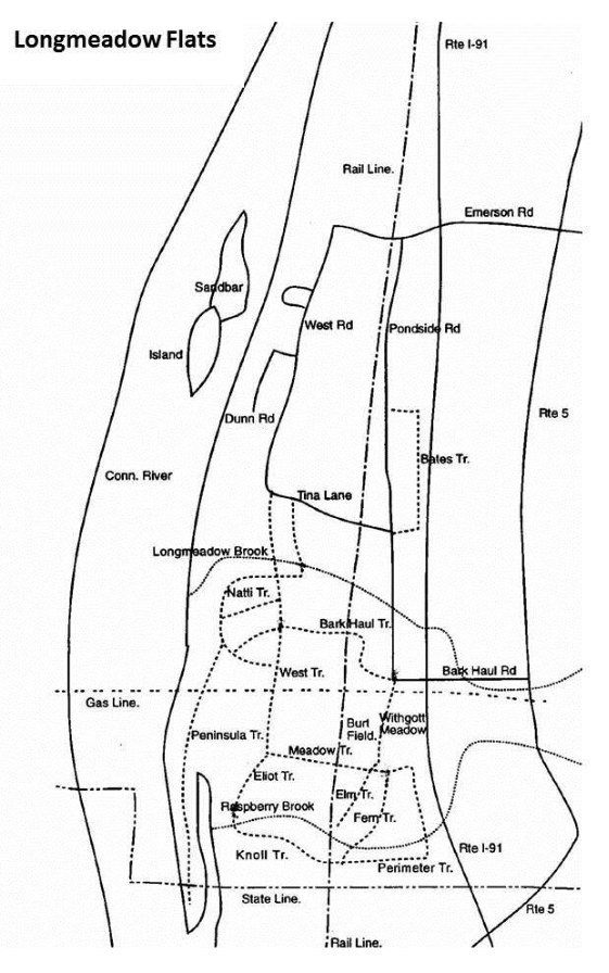
- Longmeadow Flats (old)
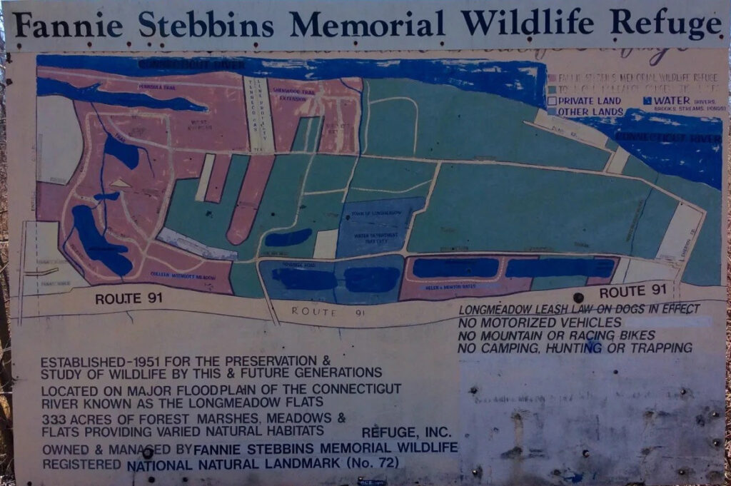
- Fannie Stebbins (old)
Historical:
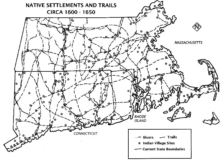
- Native Settlements 1600-1650
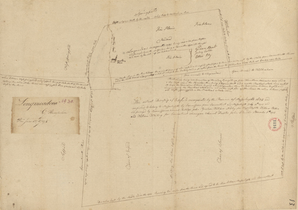
- Longmeadow No. 30 County Hampshire – 1795
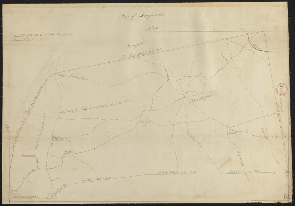
- Plan of Longmeadow – 1831
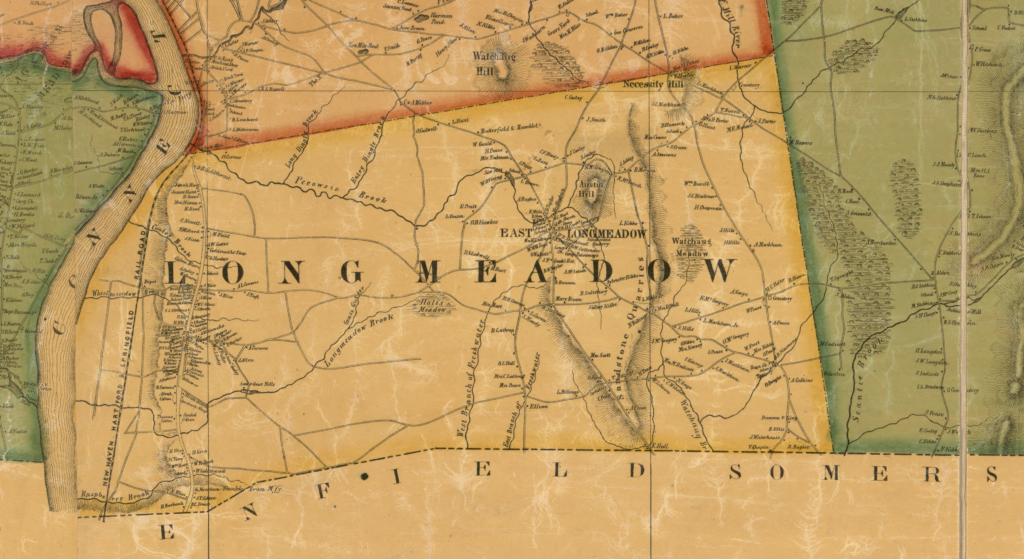
- Map of Hampden County – 1855
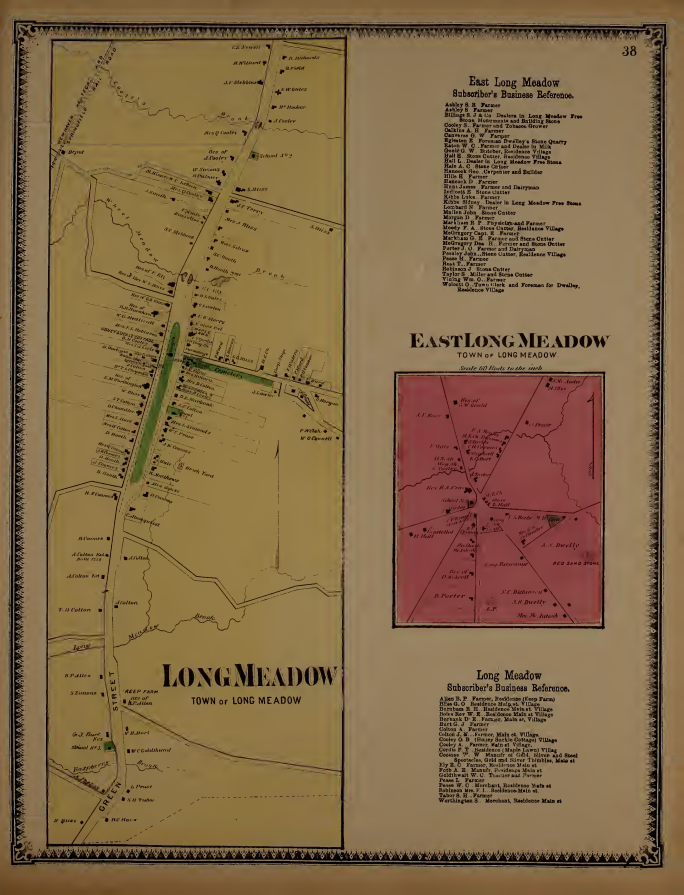
- Split Page Atlas of Hampden Co., Massachusetts – 1870
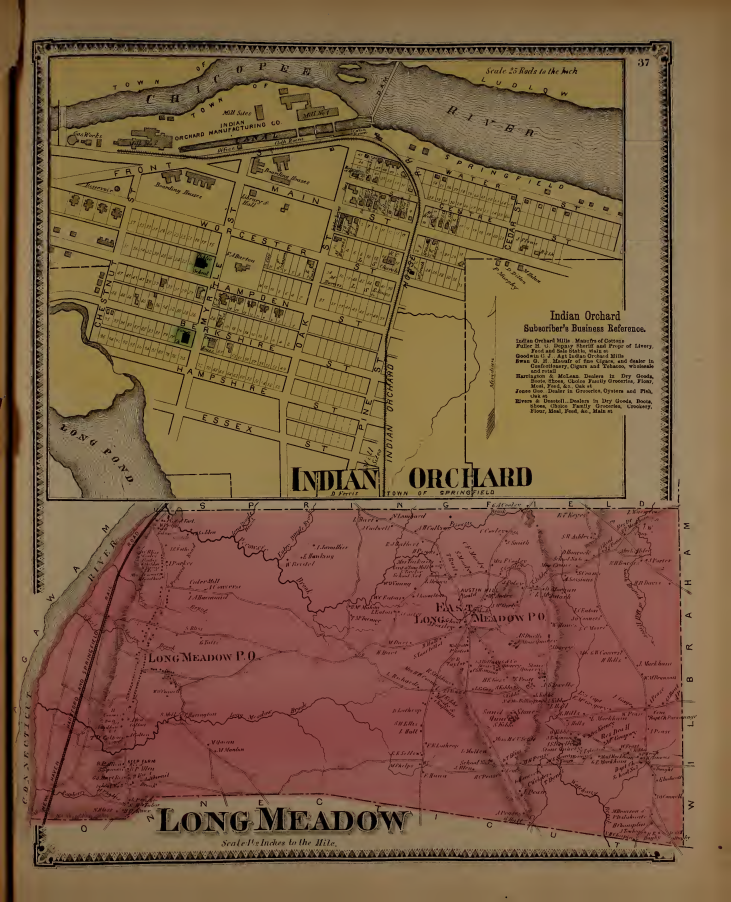
- Whole Page Atlas of Hampden Co., Massachusetts – 1870
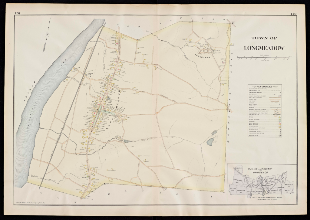
- New Topographical Atlas of the County of Hampden – 1894
- Laurel and Bliss Park Olmstead 1934
Nature
Historical
Maps past 1894 are not as interesting in terms of nature, except maybe highway construction drawings. In the future, these may be added.