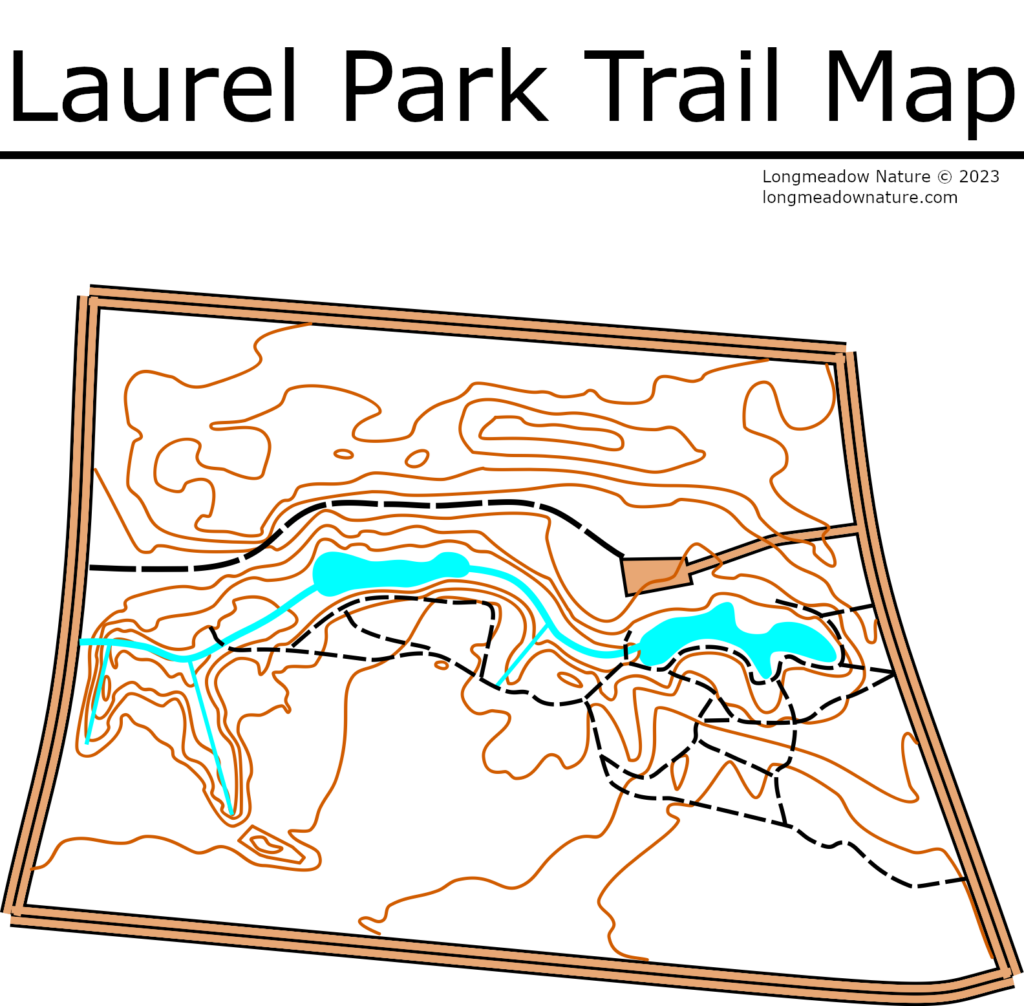
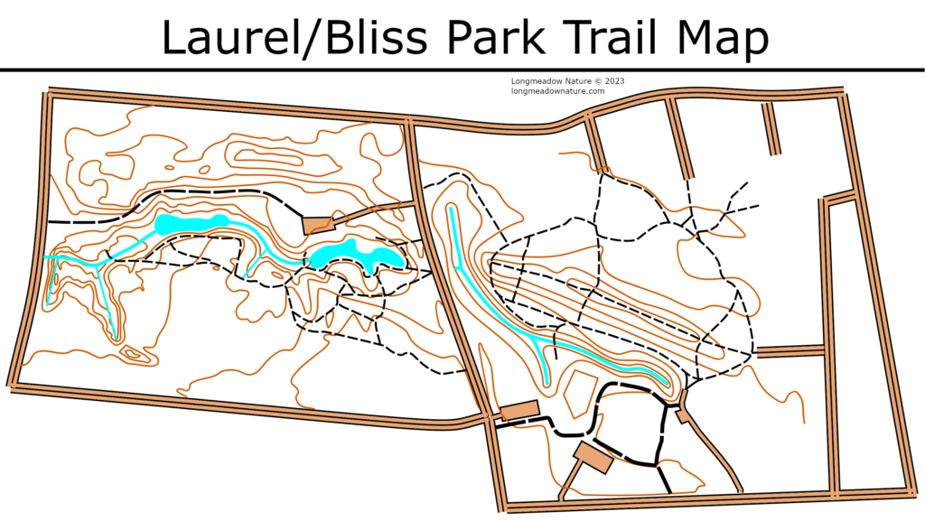
This is a trail map I made recently of Laurel Park. The two meter contour lines were made using data from the Massachusetts GIS LIDAR 2015 survey. I also combined Laurel and Bliss Park into one trail map. As always you can find the maps at longmeadownature.com/maps! If you have time, please consider subscribing for new posts. Turner Park is up next.
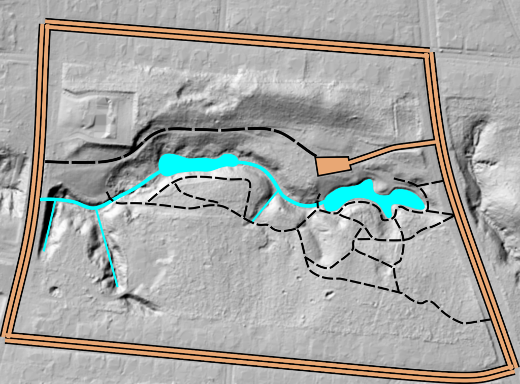
For fun, here is a cool map with the LIDAR layer hillshaded!
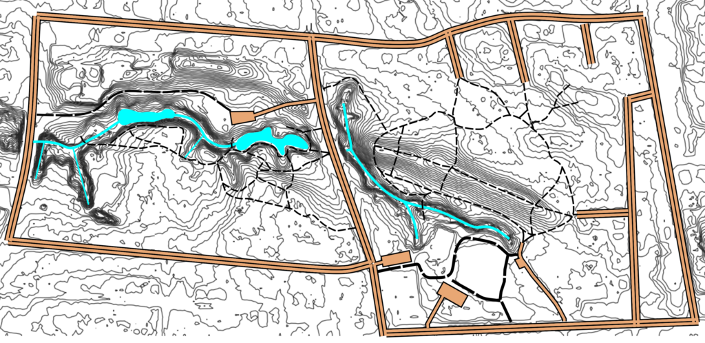
Also for fun, here is a map with raw half meter contours rendered out.
Last map is very interesting. Great post.
❤️ Love these maps! Thank you👏
I wish there was a mountain bike trail.
XVII century was Nicholas Jarry [fr].